Street-level coverage proof
Completed round maps show which streets were serviced, when, and by which crew.

Municipal fleets must show their work. GPS360 records completed round coverage street by street, so missed-collection complaints are answered with data instead of apologies.

Completed round maps show which streets were serviced, when, and by which crew.
Optimisation redistributes properties across rounds to even out shift lengths.
Idling reduction and route shortening cut fuel and CO2 in the most stop-start duty cycle there is.
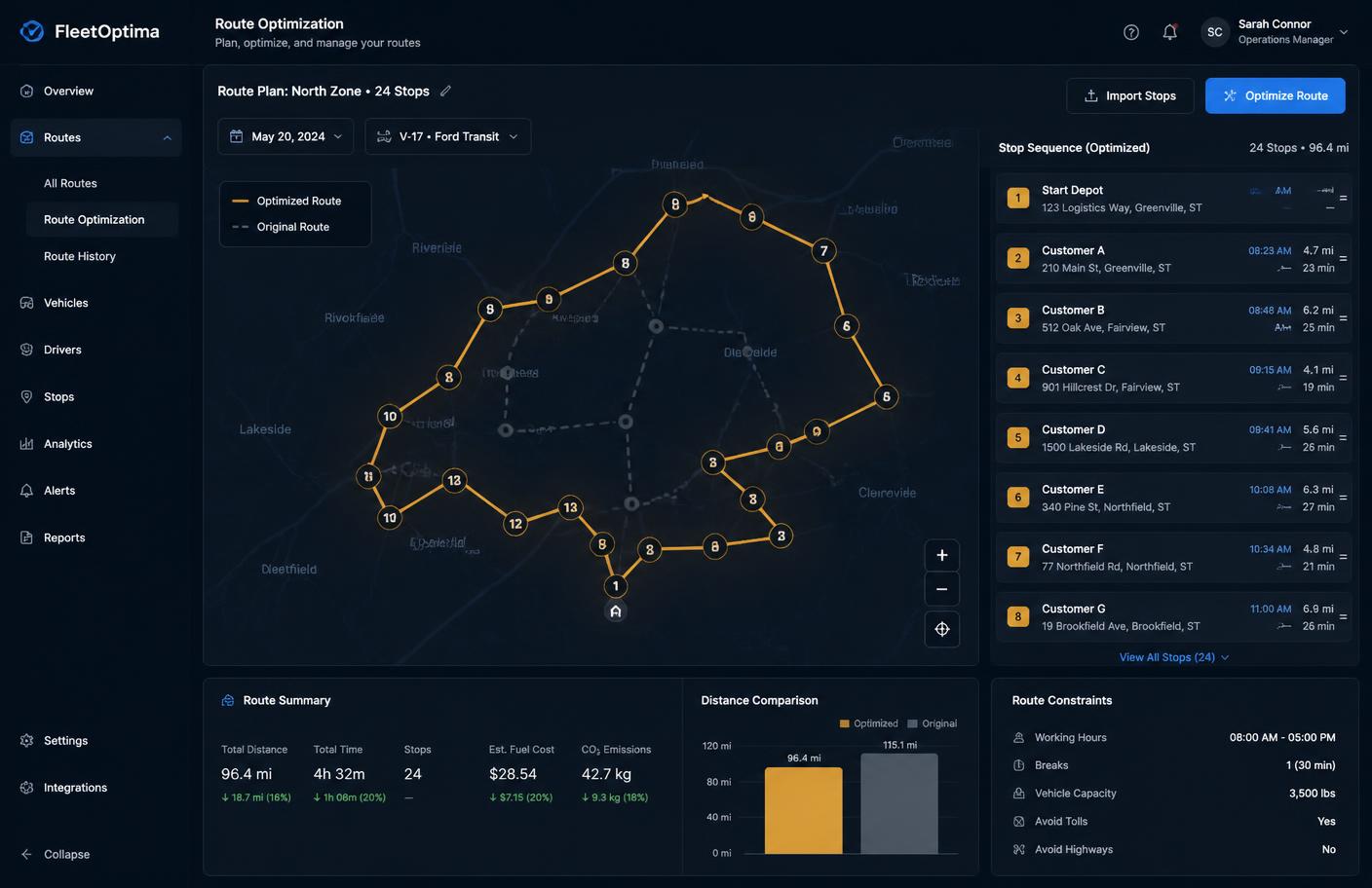
Multi-stop optimisation with time windows, capacity and driver-hour constraints — solved in seconds.
Explore module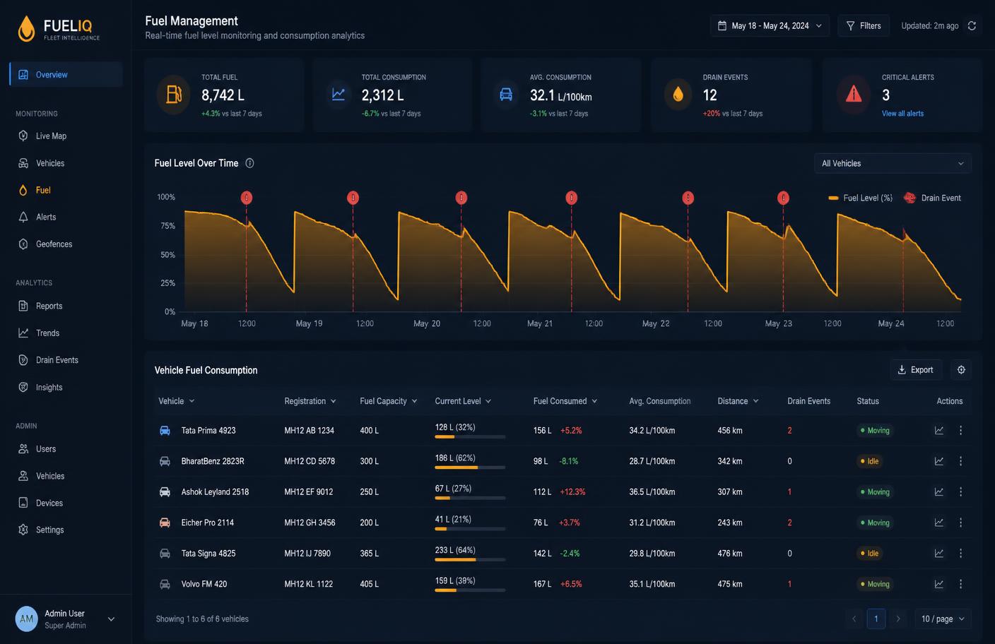
Per-vehicle consumption baselines that expose drain events, idling waste and fuel-card mismatches.
Explore module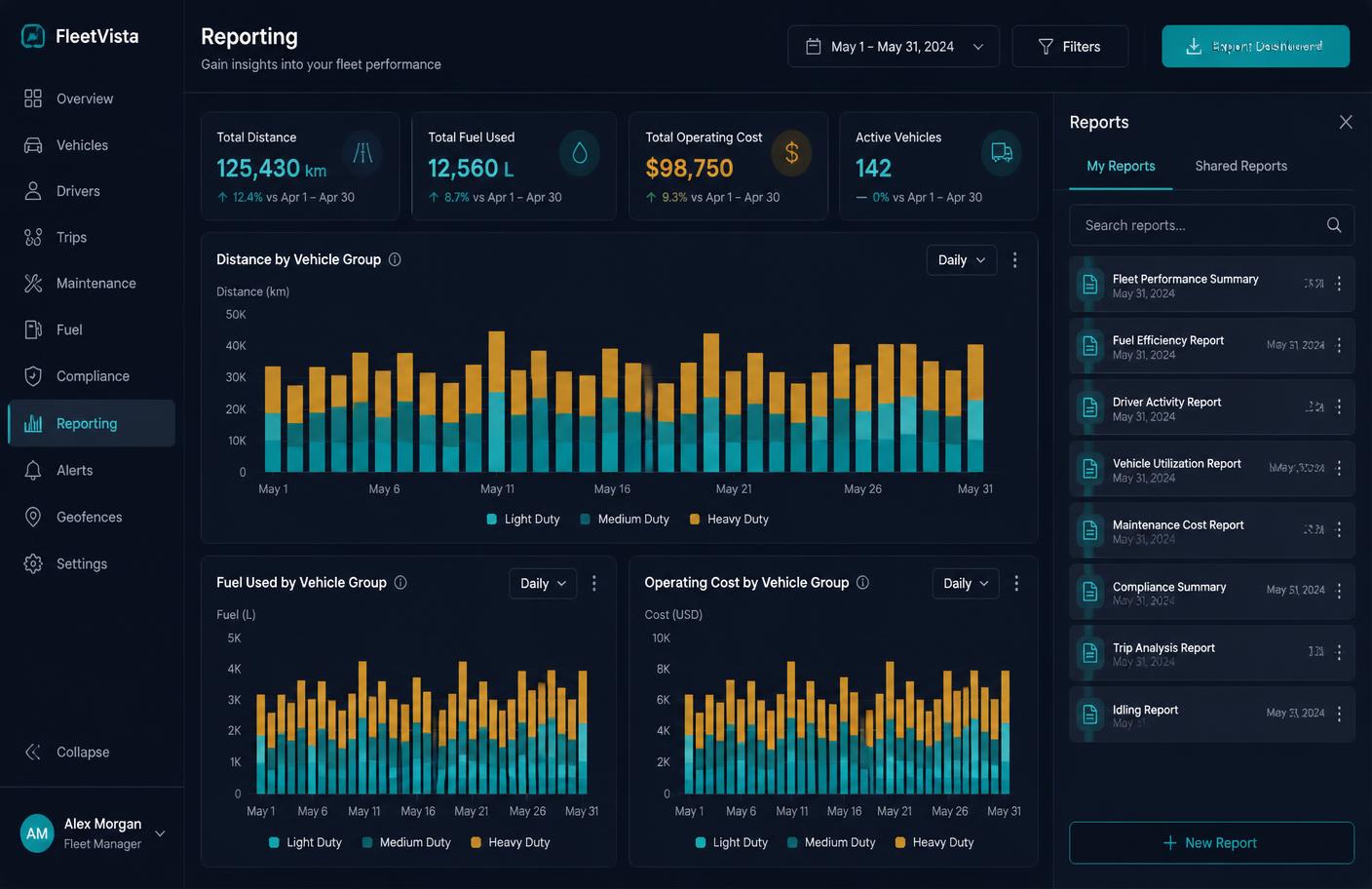
Scheduled reports, custom KPI dashboards and an open API that puts fleet data into your BI stack.
Explore moduleWe will configure a demo environment with the reports and alerts your sector is audited on.
Book a demoDense multi-drop routing, live ETAs and cost per delivery for carriers and 3PLs across Europe.
Read moreTrack machines and attachments, bill engine hours accurately and stop off-site or after-hours use.
Read moreContinuous multi-zone temperature logging with breach alerts and audit-ready HACCP reporting.
Read more